ANZEIGE
Klettersteige Engelberg
neutraler Hintergrund zum klicken

Wildalpjoch

Wendelstein

Anzeige:
Unnamed Road, Fischbachau, Deutschland

Wetterbericht Wildalpjoch – Wetter

🌧️
6°C
Regen
Mittwoch ⛈️ 9°C 5°C
Donnerstag 🌧️ 11°C 5°C
Freitag ☁️ 16°C 5°C
Samstag 🌤️ 18°C 6°C
Unnamed Road Oberaudorf Bayern 83098 DE
6,5

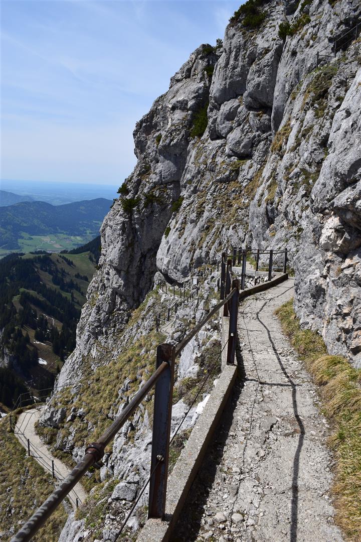
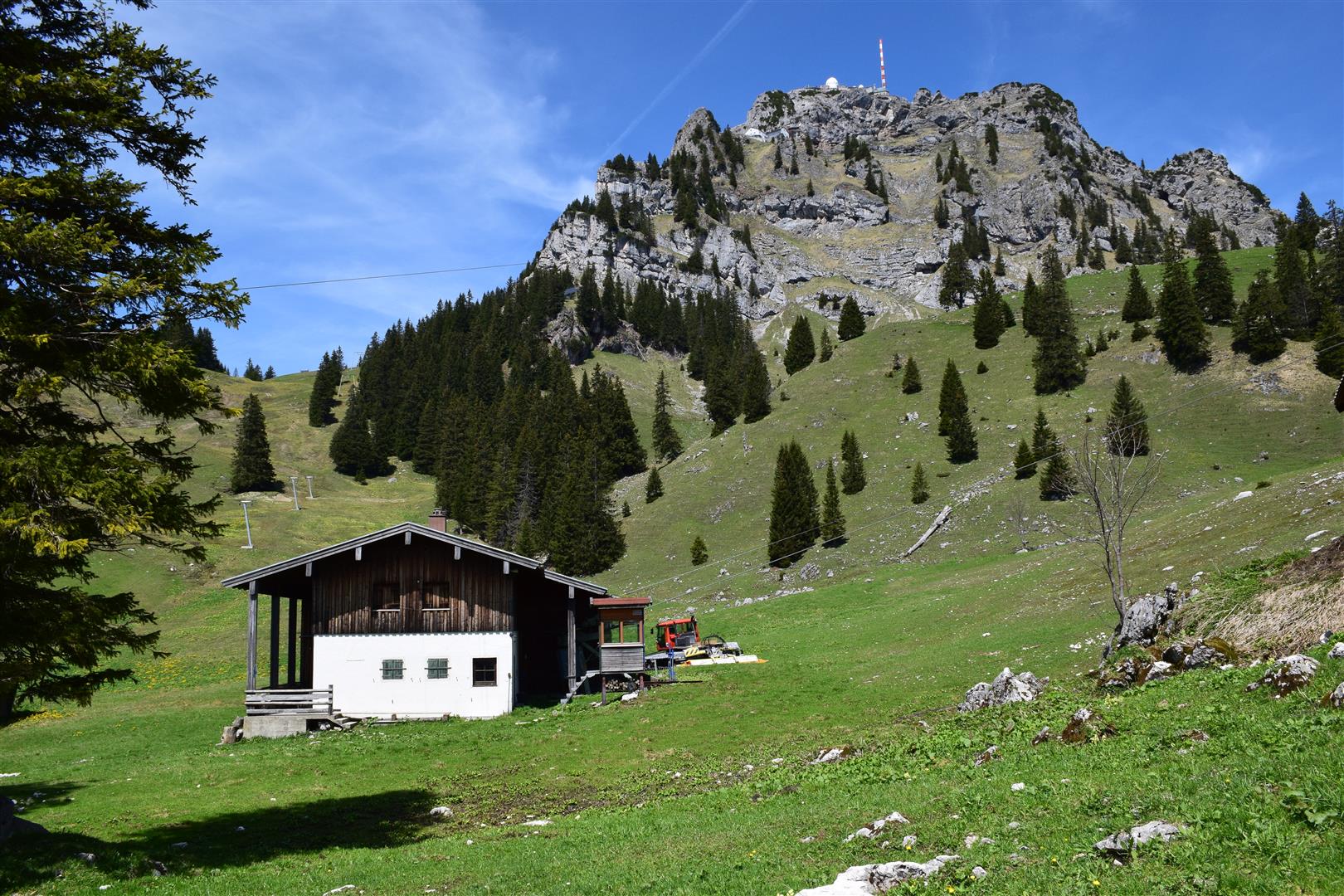
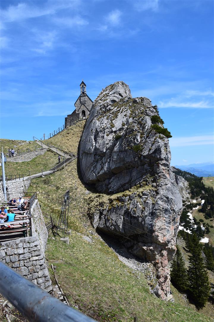
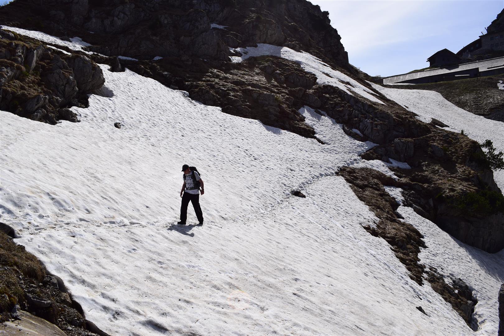
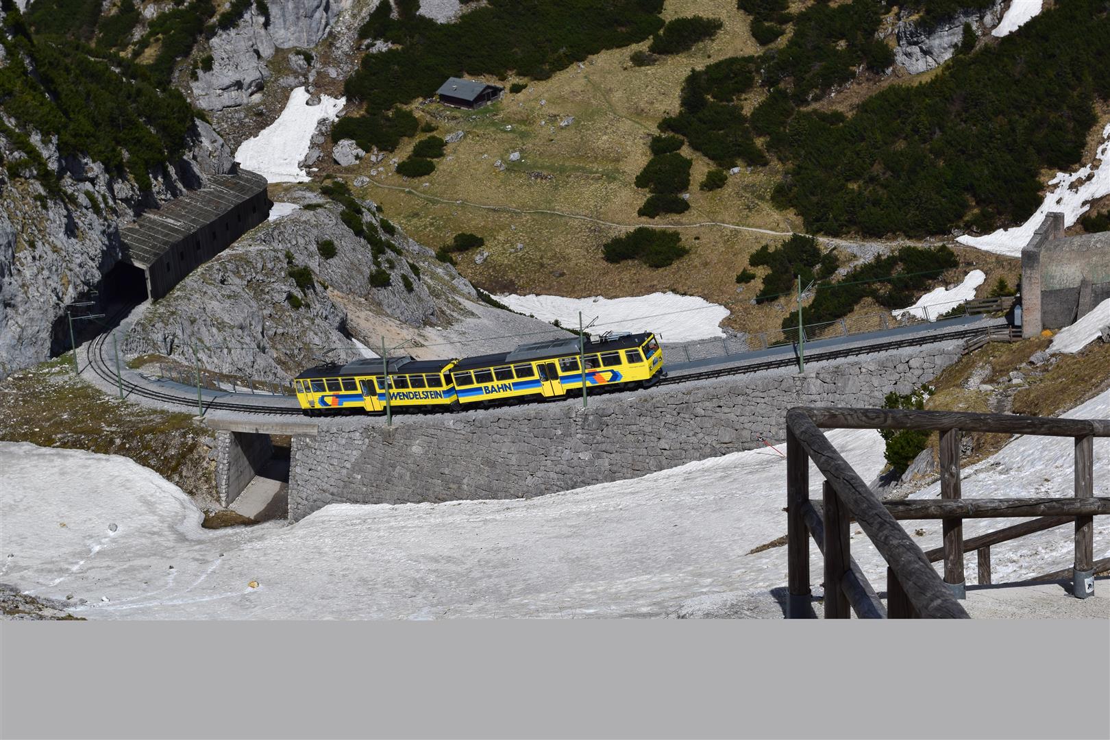
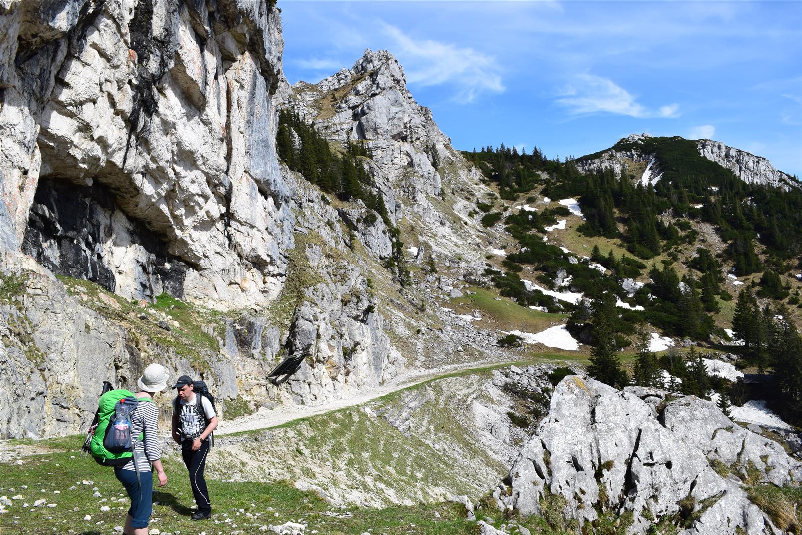
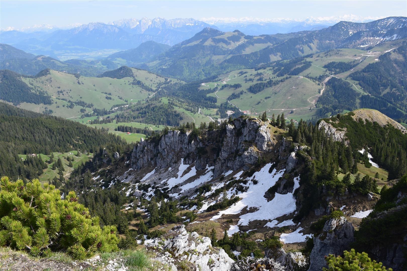
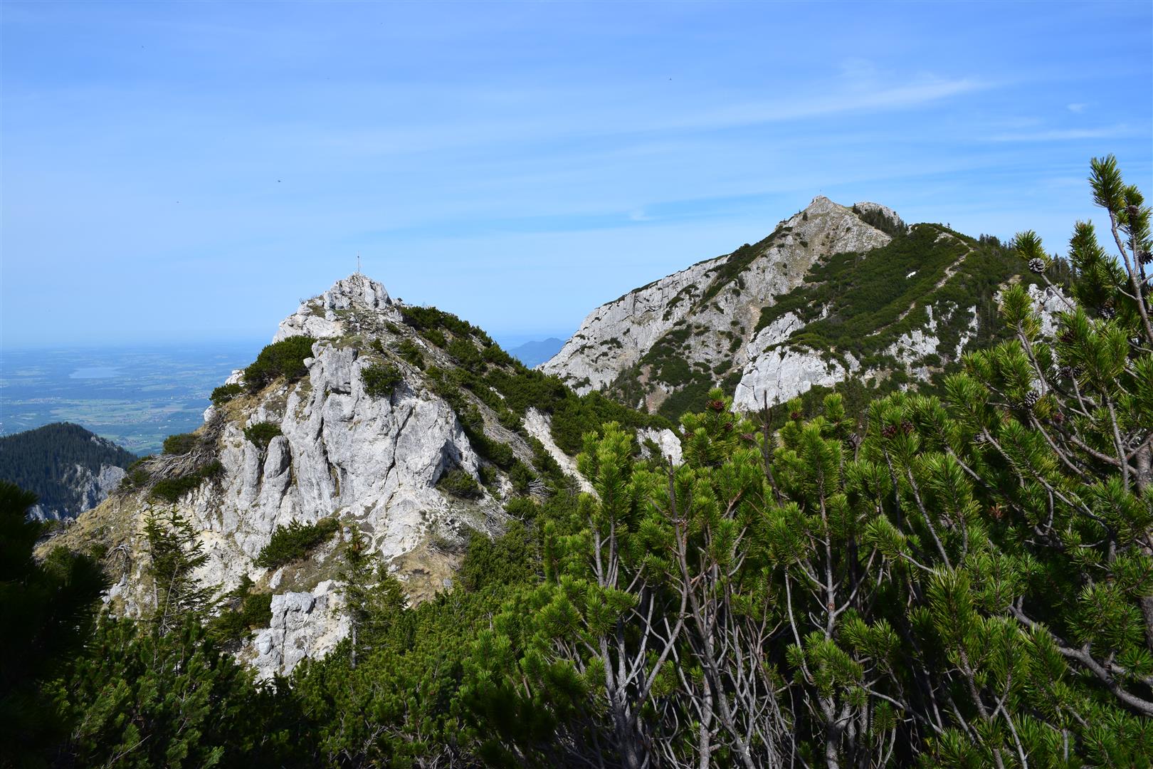
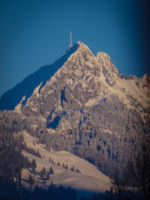
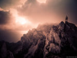
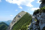
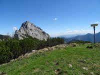
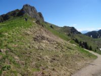
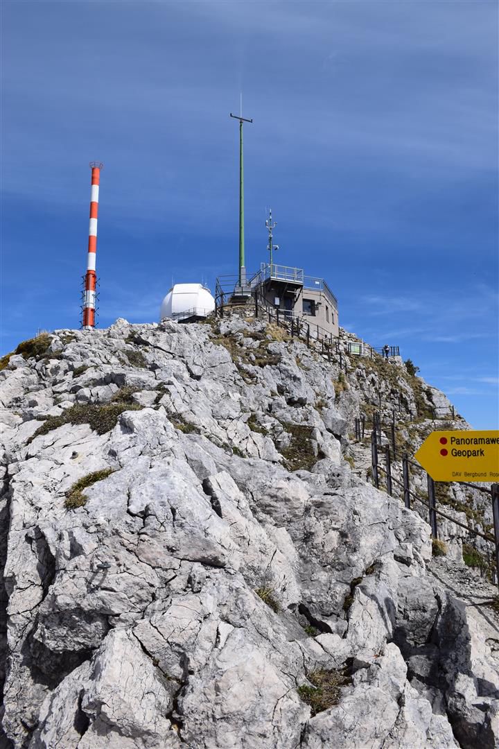
Von Bayrischzell aus startet man über den König Maximilian Weg Richtung Wendelstein. Von hier aus gehts dann weiter über die Kesselwand zur Lacherspitze und Wildalpjoch. Dann wieder Abstieg zurück nach Bayrischzell.

1100 hm

16 km

AV-Karte 1:25000, Blatt BY 16

Kommentieren

GPS Koordinaten Startpunkt
47.701288, 12.035501 (Routenplaner)

Klettersteige entlang der Route

Dauer der Tour in Std.
6,5
Gipfelhöhe
1720m
Autor:
ANZEIGE


Wendelstein vor 10 Jahren
  • You must to post comments
DSC_0594.JPG vor 10 Jahren by Timmy
  • You must to post comments
DSC_0564.JPG vor 10 Jahren by Timmy
  • You must to post comments
DSC_0576.JPG vor 10 Jahren by Timmy
  • You must to post comments
DSC_0612.JPG vor 10 Jahren by Timmy
  • You must to post comments
DSC_0609.JPG vor 10 Jahren by Timmy
  • You must to post comments
DSC_0615.JPG vor 10 Jahren by Timmy
  • You must to post comments
DSC_0624.JPG vor 10 Jahren by Timmy
  • You must to post comments
DSC_0628.JPG vor 10 Jahren by Timmy
  • You must to post comments
Showing 9 results
Wendelstein
Wendelstein 1.76 km
Gipfelhöhe
1838m
Wendelstein im Abendlicht
5.00 (1 review)
Wendelstein 2.26 km
Gipfelhöhe
1838m
Breitenstein 4.19 km
Gipfelhöhe
1622m
Farrenpoint 4.68 km
Gipfelhöhe
1273m
Großer Traithen 6.1 km
Gipfelhöhe
1852m
Wildbarren 8.01 km
Gipfelhöhe
1448m
Aiplspitz - Bild: Timo Nieland
5.00 (2 reviews)
Aiplspitz, Fischbachau, Deutschland 8.93 km
Gipfelhöhe
1759m
Links die Ruchenköpfe und rechts der Wegweiser rechts hoch zur Auerspitz
Auerspitz 9.31 km
Gipfelhöhe
1811m
Rotwand
4.00 (1 review)
Rotwand 9.47 km
Gipfelhöhe
1884m
Trainsjoch 9.68 km
Gipfelhöhe
1707m
Showing 1 - 10 of 225 results