
Verified
Anzeige:


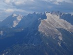
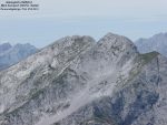
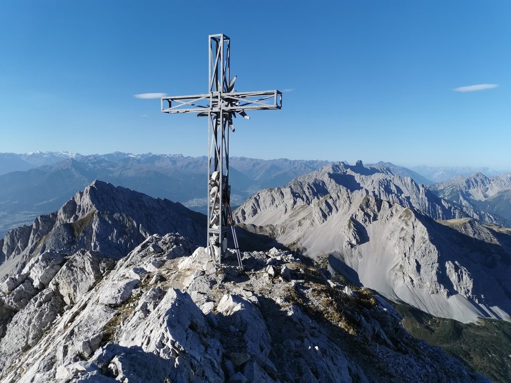
Kleine Stempeljochspitze, Gemeinde Thaur, Bezirk Innsbruck-Land, Tirol, Austria
Lohnende Wanderung auf die Stempeljochspitze von Arzl aus.
Arzl – Canisius Bründl – 7 Weg – Sennermahdsteig bis zum Bankerl – Vintl – KREUZJÖCHL (2158m) – Abstieg richtung Pfeis – dann sonnenseitig aufi zum Stempeljoch – Stempeljochspitze 2529m – Abstieg wie Aufstieg übers Kreuzjöchl 2121m – Vintl – Rumer – Enzian Hütte – Hoam nach Arzl
Bild: Helmut Neuner
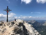
Gipfelhöhe
2543m
Autor:
- ralf reviewed vor 15 Jahren
- last edited vor 3 Jahren
ANZEIGE