
Via Ferrata “Mocanita” – Peretele Zanelor, Vadu Crisului, Bihor (English) (B)
B ↔ 150m ↑ 110m ⏱ 1h vf / 2h total
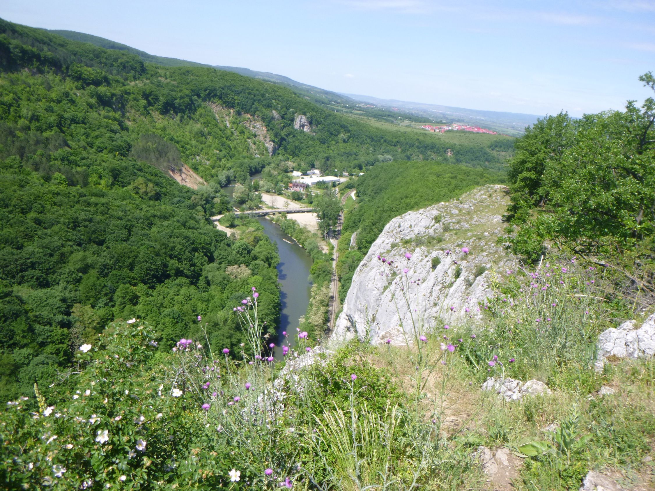
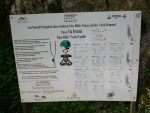
The via ferrata mocanita route was opened in 2015, on the Peretele Zanelor (Fairies Wall) rock, near Vadu Crisului, Crisul Repede defile/gorge, in Padurea Craiului Mountains, a subunit of the Apuseni Mountains. The route was built by Salvamont Salvaspeo Bihor, the Romanian mountain rescue unit from Bihor county, with help from CASSIO Montana Bihor club.
Summary:
- GPS track – Wikiloc
- Free access
- Length 150m
- Vertical climb 110m
- Difficulty B
- GPS access / Parking: 46°58’33.2″N 22°30’27.5″E or 46.975900,22.507648
- GPS Start Via Ferrata: 46°58’12.21″N 22°30’49.87″ E or 46.970056,22.513861
- Access hiking duration: 20 min
- Via ferrata duration: 1h+
- Return hiking duration: 30 min
- Total time: 2 hours+
- Minimum 16 years old; below 16 years old only accompanied by an experienced adult
- Best time: May – October, except for when it’s rainy and the rocks become slippery
All via ferrata routes in Crisul Repede Defile
- Via Ferrata “Montana” – Suncuius, Bihor (English) (B) –
B | ↔ 170m | ↑ 80m | ⏱ 30min vf (1h total) | Paid - Via Ferrata “Casa Zmeului” – Vadu Crisului, Bihor (English) (C) –
C | ↔ 215m | ↑ 150m | ⏱ 1h vf (2h total) | Free - Via Ferrata “Mocanita” – Peretele Zanelor, Vadu Crisului, Bihor (English) (B) –
B | ↔ 150m | ↑ 110m | ⏱ 1h+ vf (2h+ total) | Free
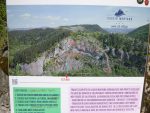
Map for this route
On the map above, „P” is parking, the red flags mark the start and end of via ferrata, orange route is for access and green route for the return trail.
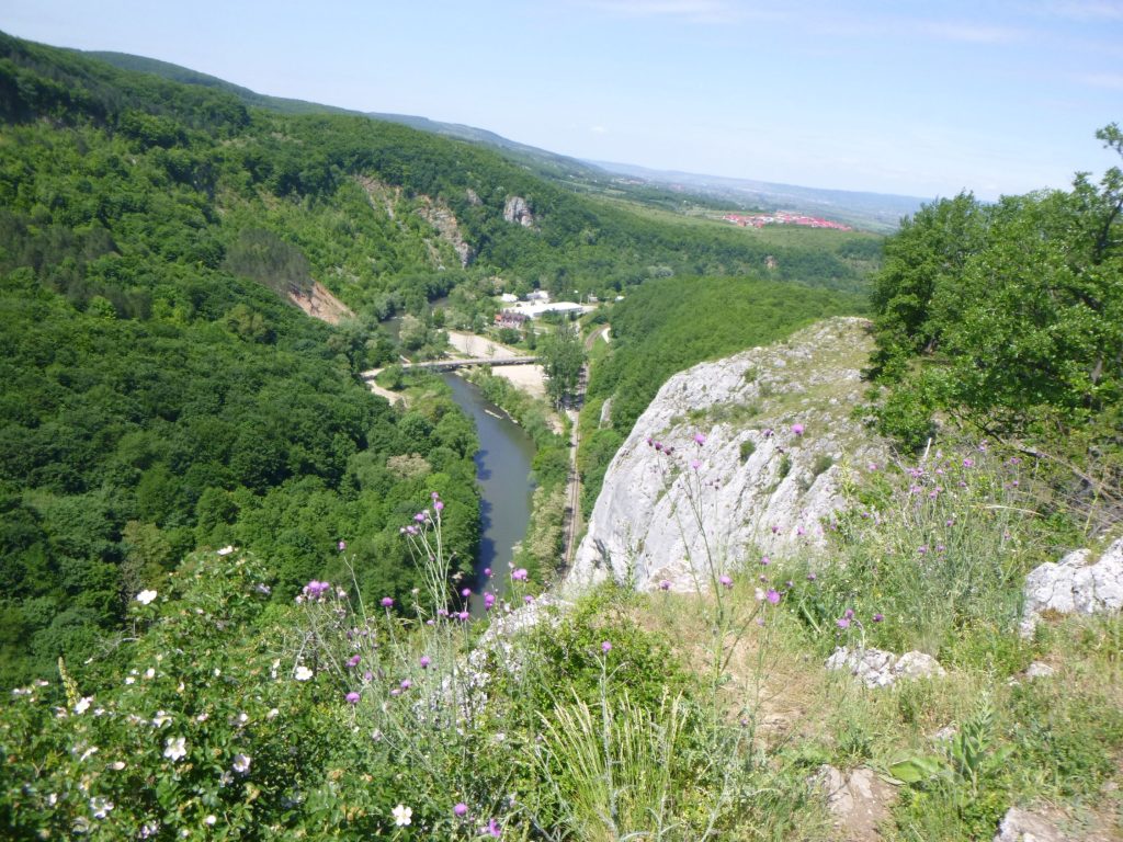
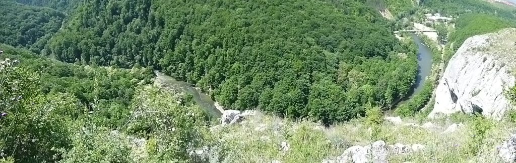
Access: You start near the sports field in Vadu Crisului village (GPS: 46°58’33.2″N 22°30’27.5″E sau 46.975900,22.507648). The shortest route is by following a narrow track alongside the railroad, which crosses the defile.
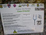
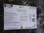
You go past the Casa Zmeului cave, marked with a sign. At this point you’ll see, on your left, the entrance to the other via ferrata route in this area: (C) „Casa Zmeului”.
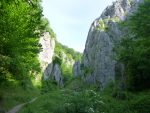
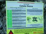
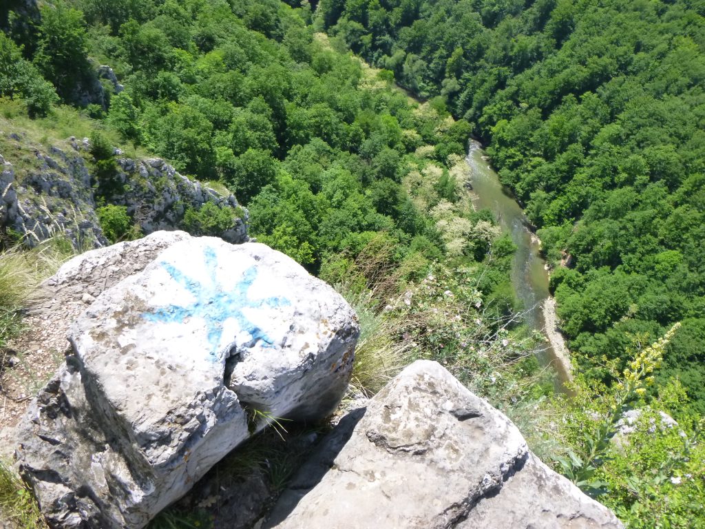
Another 5-10 minutes along the railroad and you can see on your left a rock scree which goes up into the forest. This point is marked with a „Via Ferrata” panel.
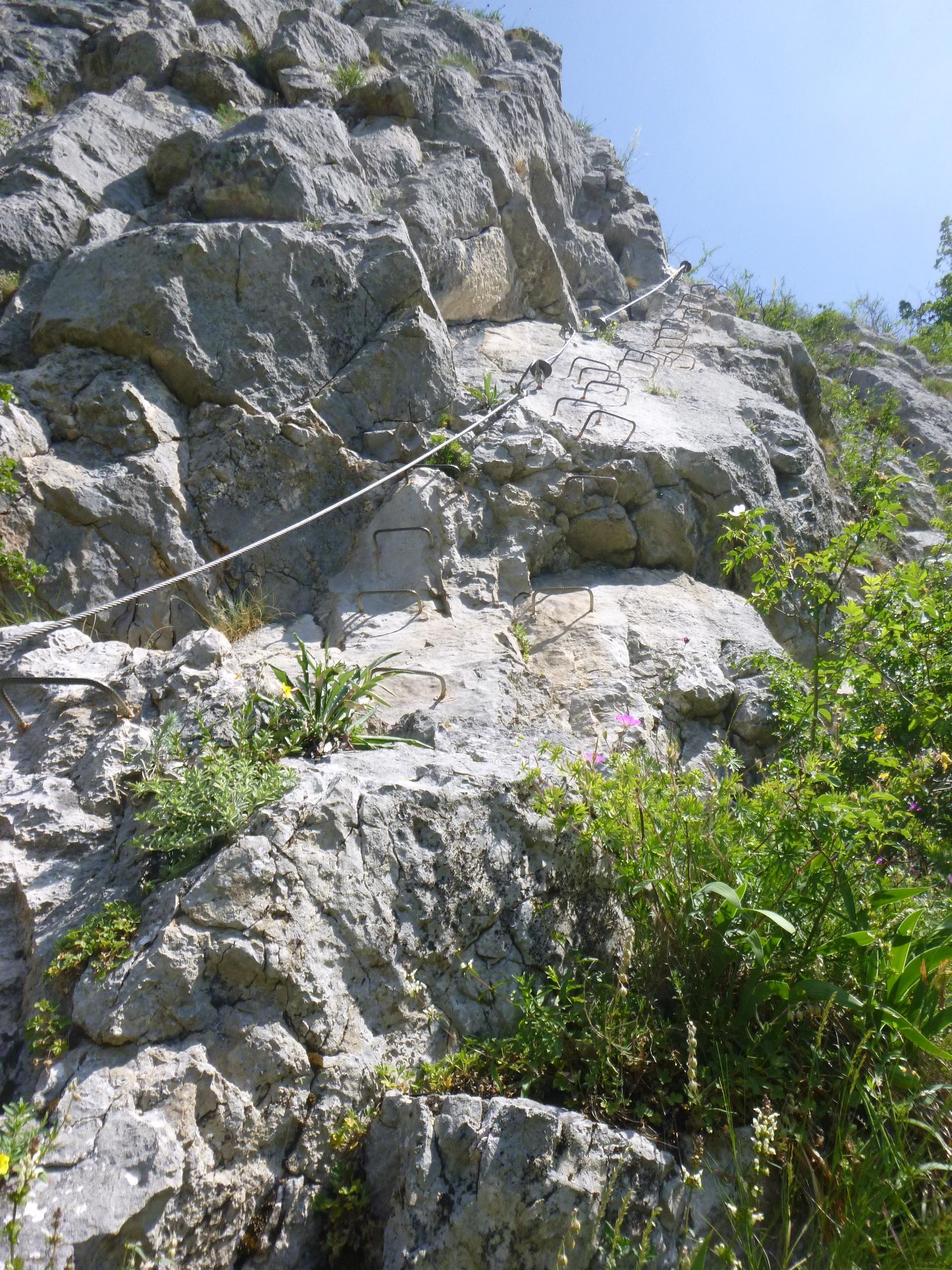
Length of via ferrata route: 150m. Vertical climb: 110m.
Difficulty: B (easy). Grades are from A (very easy) to E (extreme).
The route is well equipped with many iron staples, making for an easier climb. The vertical climb of only 110m and the short difficult passages recommend this route for beginners, but accompanied by experienced persons only.
For children, the route can be hard and it is recommended that they be secured with an additional rope by an experienced adult.
Duration for the via ferrata route: 1 hour+.
Prices: free.
Mandatory gear: alpine helmet, alpine harness, via ferrata set. Optionally, gloves.
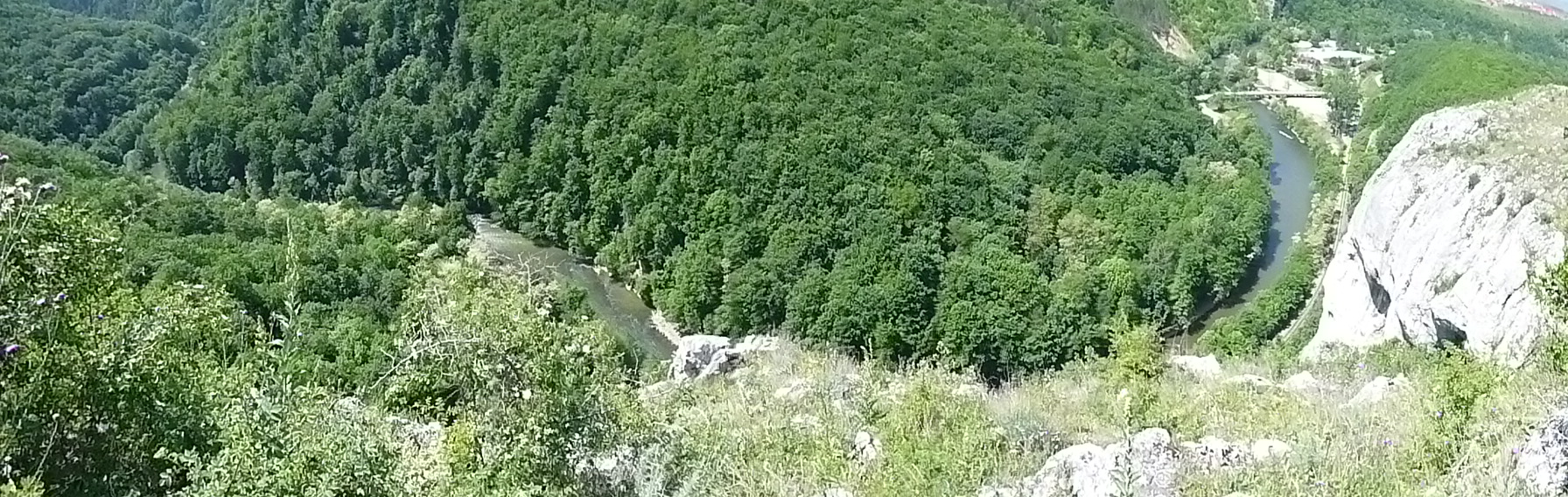
Return trail: You have two options to come back to Vadu Crisului village:
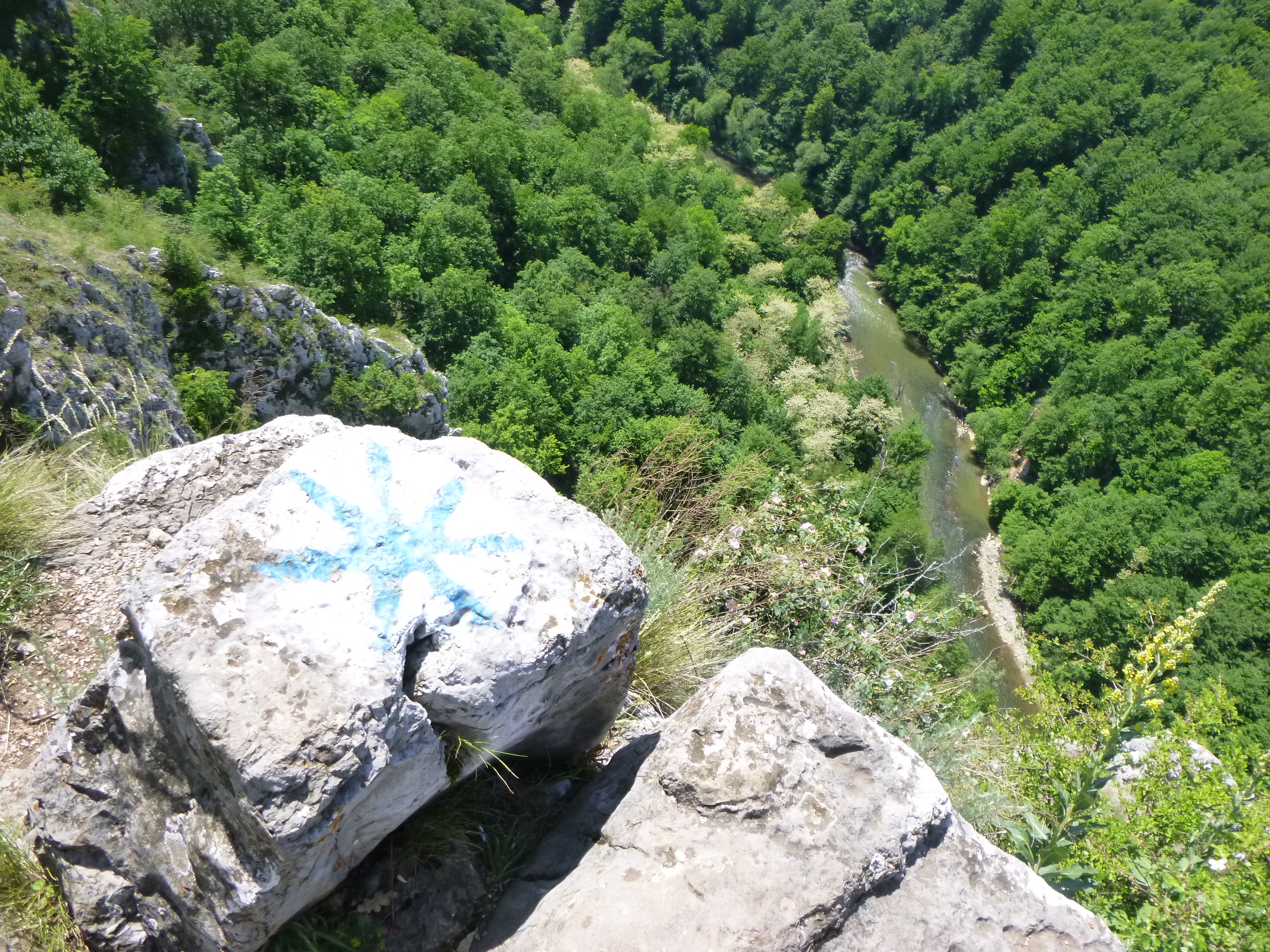
- Follow the hiking route marked with a blue circle, to the left. It will end close to the sports field where you parked.
- Follow the hiking route marked with a blue circle, to the right, to Vadu Crisului Cave and visit this interesting cave. You can then return to your car.
Wheater: Meteoblue Vadu Crisului, Viewweather Vadu Crisului.
Emergency calls: +40.SALVAMONT, which is actually +40.725.826.668, or 112, the European all around emergency number. GPS coordinates for localization: 46°58’12.21″N 22°30’49.87″ E.
- art2ro reviewed vor 5 Jahren
- last edited vor 2 Jahren

- AndréTT reviewed vor 2 Jahren

Genaue Routenbeschreibung siehe:
- You must login to post comments
- You must login to post comments
- You must login to post comments
- You must login to post comments